Himachal & Uttarakhand Snowfall 2026: What Impacts Plains Weather
- admin
- January 2, 2026
- Himachal Pradesh, UttraKhand
- 0 Comments
Key Highlights
- Snowfall over the Western Himalayas often coincides with western disturbances that also shift humidity and winds over the Indo-Gangetic Plain.
- Post-snowfall cold-air movement and clearer nights can deepen chill in nearby plains; cloudier phases can raise humidity and fog risk.
- Plains impacts show up as temperature swings, cold-day conditions, and transport disruptions during dense fog.
- Tracking hill precipitation isn’t just for tourists—it’s a practical signal for plains residents and businesses.
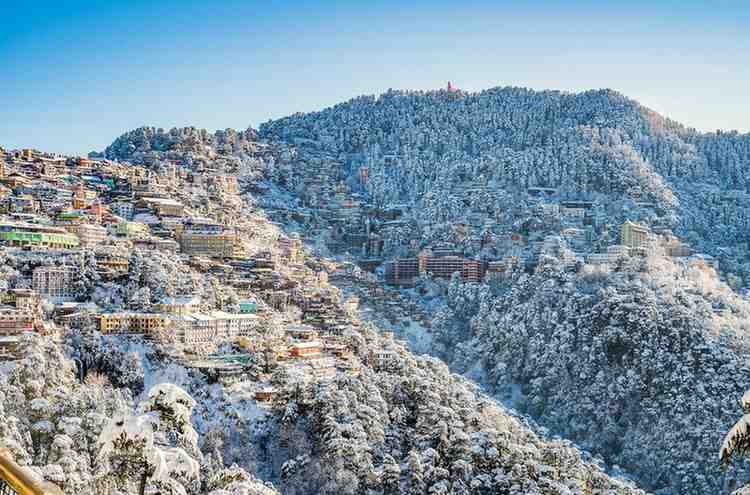
Himachal Pradesh and Uttarakhand are often treated as “hill-station winter stories,” but snowfall in these states can act like a weather lever for the plains. Winter 2026 will likely continue this pattern: what happens in the mountains doesn’t stay in the mountains.
The key connector is the western disturbance. IMD forecasts frequently tie winter rainfall/snowfall over Jammu–Kashmir–Ladakh, Himachal, and Uttarakhand to the passage of these systems. When a disturbance brings snowfall to higher altitudes, it also modifies winds and moisture patterns across northern India. That means Delhi, Punjab, Haryana, Uttar Pradesh, and Rajasthan can feel the ripple effect.
One pathway is cold-air advection. After snowfall and the passage of a system, colder air can spill into nearby plains, deepening the night chill and sometimes producing “cold day” conditions when daytime temperatures stay suppressed. Another pathway is humidity and fog. During or ahead of a disturbance, moisture increases; when combined with calm winds, this can thicken fog in the plains even if minimum temperatures are not at record lows.
Snowfall can also reshape local circulation. Strong temperature contrasts between snow-covered slopes and lower valleys influence winds, which then interact with plains-level boundary layers. For plains cities, these changes can mean abrupt flips in AQI and visibility: a windier phase clears the air; a calm, moist phase traps pollutants and extends fog.
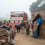
In practical terms, hill snowfall in 2026 should be read as a signal for plains planning. When snow and rain are forecast over Himachal and Uttarakhand, logistics operators may anticipate highway blockages in the hills and delays in inter-state movement. In the plains, the bigger risk is visibility—dense fog episodes that disrupt early-morning travel. IMD’s winter advisories and extended-range products often highlight dense fog likelihood during night and morning hours across parts of north India, and these periods can align with disturbance-driven moisture cycles.
For agriculture, snowfall-linked circulation affects frost risk and minimum-temperature trends in adjacent plains districts. For public health, fog + pollution stacking can worsen respiratory risk. For households, it shows up as the simple discomfort of unpredictable cold and dampness—where the air feels heavier than the thermometer suggests.
The bottom line: watching Himachal and Uttarakhand snowfall is not only about tourism. It is about understanding the upstream drivers that shape how the plains breathe and commute in winter 2026.
For schools, hospitals, and district administrations in the plains, this means winter readiness should include hill-weather awareness. When snowfall is forecast, prepare for a two-step impact: first, transport disruptions and moisture-driven fog; second, a possible post-system chill as skies clear. In many years, that second phase is when discomfort peaks—quietly, after the social-media snow videos fade.
Official reference points for readers: IMD extended-range forecasts and winter bulletins; IMD winter seasonal outlook (Dec 2025–Feb 2026).